Mapping islands: context topography
The explorer’s metaphor is a series of articles that aim to provide an introduction to sensemaking and complexity management for designers, managers, and decision-makers. Read here part 1 and part 2.
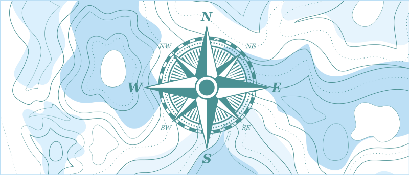
Topography is the study of the forms and features of land surfaces. The topography of an area could refer to the surface forms and features themselves, or a description (especially their depiction in maps).
Territory mapping
Sensemaking is about creating a coherent approximation of the terrain. It is the act of creating an understanding of an unclear situation or context.
The territory here is an abstract construction (not to be taken literally): this is the context you are evolving in, be it the organization in which you’re trying to make changes, a challenge you’re trying to address, etc.
Coherency is what we look for. Uncertain and complex contexts might display contradictory narratives and hypotheses, and the worse thing here would be to be unable to act or wait too long before it’s too late.
For coherent patterns to emerge, we need to understand the space of the context. Mapping the territory helps makes sense of it, understand interactions, relationships, influences, etc. A useful map in an unclear situation is not necessarily one that displays all possible details of reality, but one that gives enough relevant information to find our marks, give direction, and make decisions.
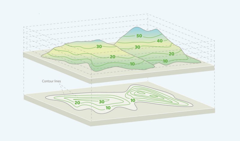
Topography as a metaphor
The map is composed of a collection of different information, descriptions, characteristics, etc. that help describe (and share the understanding of) what we see on the terrain from different perspectives. As an actual terrain posses different elevations, mountains, hills, valleys, rivers, etc. These are structural elements, such as people, activities, processes, products, etc. Those are dispositional constraints.
Even more so, the terrain is what it is. Changing it by direct means is costly, effortful, and probably the last thing we would like to try when things are unpredictable. Think about floodplains for instance or tunnels.
Instead, what we see in nature is organisms adapt to the terrain. Information will always take the most cost-effective pathways. Locally, paths are sustained only if value is delivered to the network, otherwise, they simply atrophy.
The question, therefore, is: how might we change the relationships between different elements, the components, that compose our terrain?
Sometimes it requires making the invisible visible and enable discussions & collaboration to emerge around this understanding. Sometimes it requires a more direct medium, such as a product or change in processes. And sometimes it requires a parallelization of different strategies to increase the chances of positive impacts.
The Explorer’s Metaphore — Part 4
Energy, Sensors, and Triangulationblog.designcriticalthinking.com
Thanks for reading!
This is part three of a series of articles that aim to provide an introduction to sensemaking and complexity management for designers, changemakers, managers, and decision-makers through metaphors & abstractions.









Discussion